Servicing the Eastern Bay of Plenty, New Zealand:
- Whakatāne, Kawerau, Edgecumbe, Ōhope, Ōpōtiki, and Te Kaha.
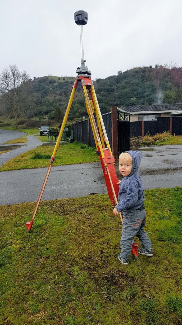
Land Development & Surveying services:
- Rural & Urban Subdivisions – changing the legal boundaries of land, creating new lots and certificates of title.
- Boundary Adjustments – relocate legal boundaries. This requires subdivision consent.
- Boundary Redefinition Surveys – mark boundaries where pegs may be missing, eroded, or moved by building works.
- Building & Construction Set Out – check the construction and developments within the property boundaries to help contractors and builders accurately follow the designs and plans.
- Māori Land Surveys
- Topographic Surveys – collect data on elevation points for natural and man-made features of the land, and present them as contour lines on a plot.
- Level Datum Surveys – vertical distances of different points are measured such as minimum floor level.
- Easement & Covenant Surveys – for specific restrictions on properties such as utility services, building height restrictions, bush covenants, and changes to restrictive covenant boundaries on cross-leased properties.
- Daylight Compliance – survey the existing buildings calculations of daylight and sunlight regulations.
- Building Location Certification – to measure ground and foundation levels at critical points and to determine building setbacks from boundaries.
- Approved onsite Effluent Treatment Design
.